Introduction
Ever felt overwhelmed when diving into the world of building data and footprints? You're not alone. Ensuring data accuracy can be a tricky business, with a multitude of data sources, varying levels of detail, and diverse project requirements. But don't worry, we've got your back!
In this article, we're going to break down the ins and outs of building data accuracies. We'll guide you through the types of data accuracies, show you how to assess and improve data quality, and help you choose the right level of accuracy for your specific project needs.
Whether you're an urban planner, telecom pro, or aviation aficionado, this guide will arm you with the knowledge and tools you need to confidently tackle building data accuracies and make informed decisions to optimize your project outcomes.
So, let's jump right in …
Table of Contents
- Types of Data Accuracies in Building Data
- Assessing Data Accuracy
- Improving Data Accuracy
- Choosing the Right Level of Data Accuracy
- Conclusion
Types of Accuracies in Building Data
When it comes to building data and footprints, there are several types of data accuracy you need to consider. In this section, we'll explore three key aspects: geometric, attribute, and temporal accuracy.
Geometric Accuracy
Geometric accuracy is all about the spatial correctness of building data. You'll want to make sure your building footprints are right where they should be on the ground.
- Building footprint precision: This refers to the accuracy of the building's shape and size as shown in the data. You'll want your digital representation of a building to accurately reflect the building's boundaries and layout.
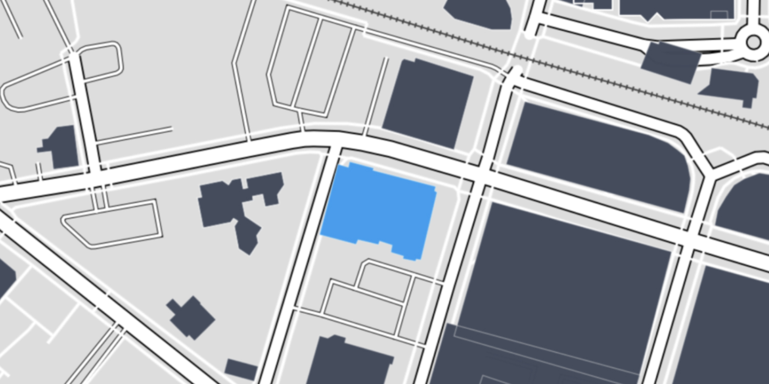
- Alignment with actual structures: Besides having precise digital representation of your actual buildings, it's essential to ensure they line up with their real-world counterparts. That means checking the positional accuracy of the building data and making sure footprints match actual building locations.

Attribute Accuracy
Attribute accuracy deals with the correctness of non-spatial information tied to building footprints. This can include various attributes like building height, building parts, and other relevant data.
- Building height: Accurate building height data is crucial for some industries, while less relevant for others. For example, energy consumption planning (e.g., calculating a buildings' energy consumption) and telecommunications (e.g., selecting the best location for the next cell tower) need accurate building height data, while urban retail planning might not.
- Building use: This includes the designation (e.g., residential, industrial, commercial) and relevant information about the past and present building use. This kind of data could be relevant for architectural design and for urban analysis projects.
- Other relevant attributes: Depending on your project requirements, other attributes like building age, material, roof shape, or occupancy might also matter.
Temporal Accuracy
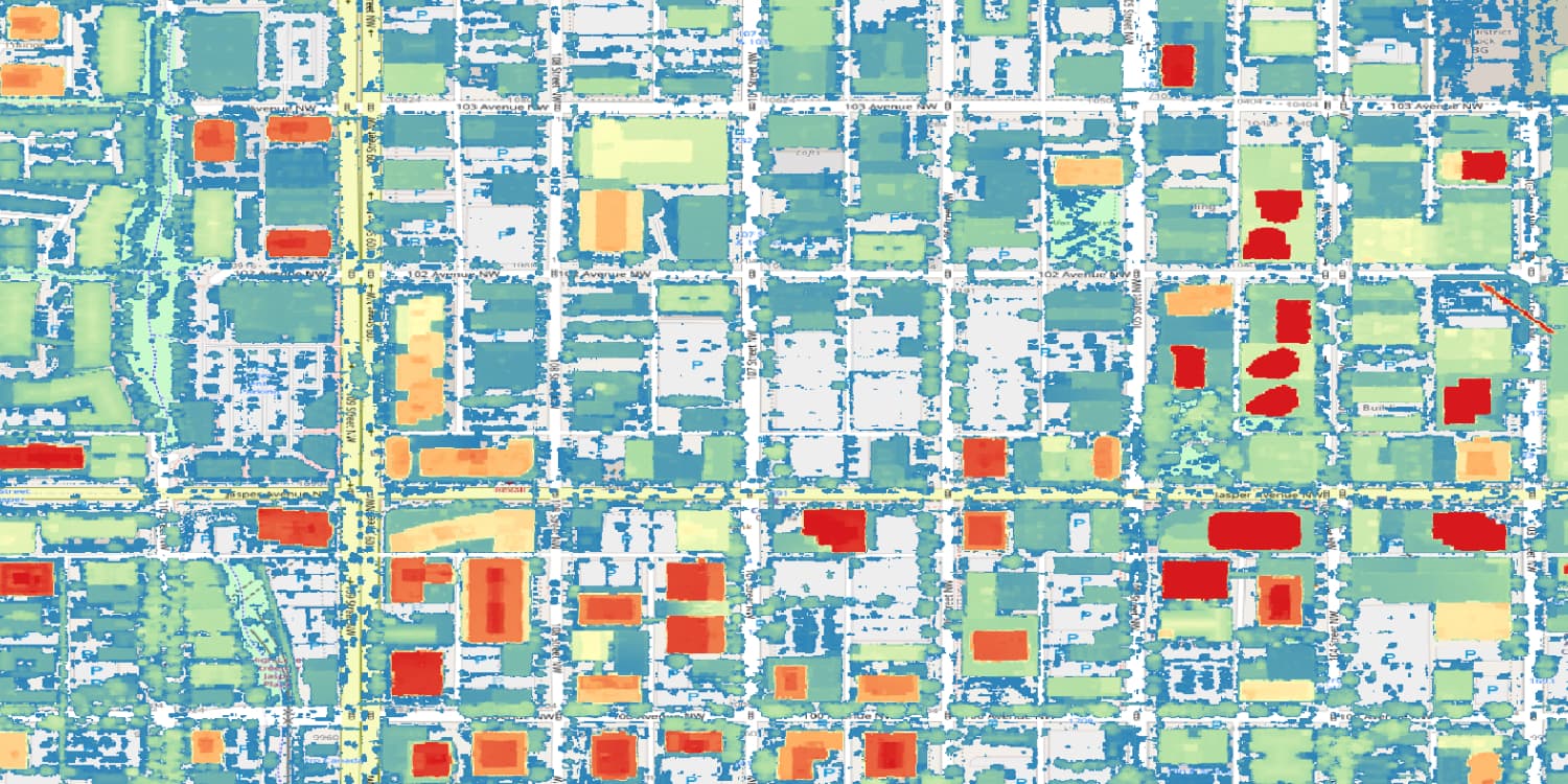
Temporal accuracy is all about your building data's currency and relevancy over time. Building footprints and attributes can change due to construction, renovation, or demolition, so it's essential to keep an eye on any changes that might affect your data.
- Currency of data: Ensuring your building data is up-to-date is vital for maintaining accuracy. Check the date of data collection or the last update, and assess whether any significant changes have occurred since then.
Depending on your project's goals and timeframe, continuous monitoring might be needed to keep up with temporal accuracy. This includes incorporating new developments, demolitions, and renovations into your dataset as they happen.
Assessing Data Accuracy
In this section, we'll explore various ways to evaluate data accuracy, like examining data sources, evaluating metadata, and validating datasets.
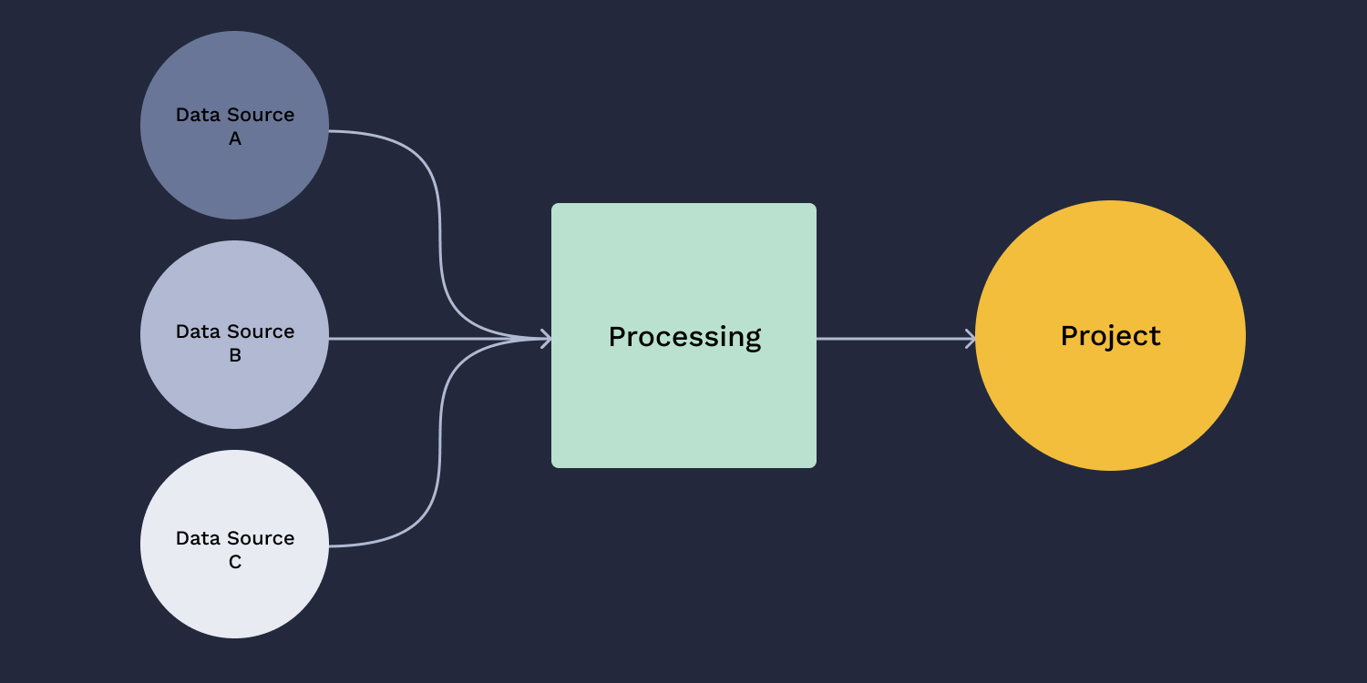
Data Sources and Their Impact on Accuracy
The accuracy of your building data hinges on the data sources you choose.
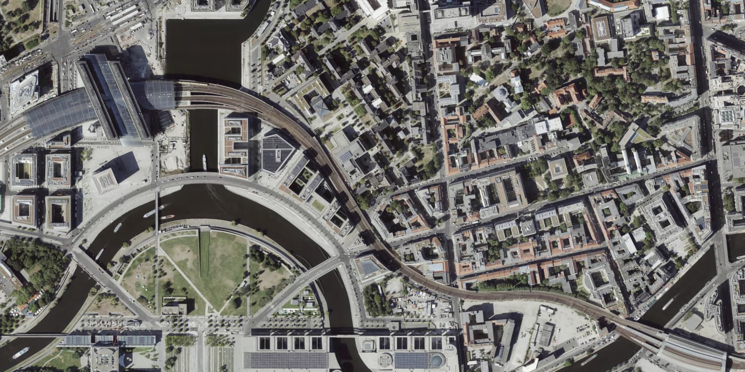
- Lidar sources: Lidar (Light Detection and Ranging) is a remote sensing method that uses laser light to measure distances and give you detailed, accurate 3D models of the Earth. Lidar sources can provide highly accurate data on building height and footprints, so they're a great choice if you need precise building info.
- Manually mapped data: This one involves human input to create building footprints and gather attribute information. It is more time consuming but delivers solid accuracy. Manually mapped data can also be used to verify the accuracy of other data sources.
- Satellite imagery: High-resolution satellite imagery can be used to extract building footprints and gather attribute information. While the accuracy of satellite-derived building data may vary depending on factors like image resolution and processing techniques, it can still be a valuable source of building data.
Evaluating Metadata for Accuracy Indicators
Now, let's chat about metadata. Metadata can give you a good idea of your dataset's accuracy. Also keep an eye on the data update frequency to make sure you're working with reliable data.
The frequency with which building data is updated can also impact its accuracy. Regular updates are essential to account for changes in building structures and maintain the temporal accuracy of your dataset.
Comparing Datasets for Validation
Validating your building dataset involves comparing it to other data sources or verifying it with on-site inspections.
- Compare data sources: Checking your dataset against other building data sources can help you identify any discrepancies and assess the overall accuracy of your data.
- On-site verification: Get boots on the ground and check buildings against your dataset. Physically inspecting buildings can provide valuable insights into the accuracy of your data and help you calibrate it.
- Team up with local authorities: Local authorities often have up-to-date records, so they're a valuable resource for validating your dataset.
Assessing your data sources, evaluating the metadata, and validating your datasets lets you effectively gauge the accuracy of your building data and footprints. Essentially, it's about making sure that the data you're using is fit for purpose for your project.
Improving Data Accuracy
Getting your building data and footprints on point is key to nailing your projects. In this section, we'll dive into ways to boost data accuracy, like combining data sources, fine-tuning with calibration, and keeping data fresh with updates.
Data Combination Techniques
Combining different data sources and methods can seriously level up your building data accuracy.
Multi-source integration - Combine building data from sources like Lidar, satellite images, and manual mapping to sharpen the overall accuracy. A combined dataset is usually worth more than the sum of its parts as each dataset has its own strengths and can be used to overcome any weaknesses in others.
What about Machine Learning?
Everyone is talking about machine learning these days. So is it really the magic solution some make it out to be? Unfortunately, not quite. While machine learning algorithms can be applied to analyse building data accuracy and be trained to recognise features based on training datasets, they're often prone to errors. This means that it's difficult to determine the actual accuracy, which potentially leaves you with more questions than answers.
Calibration Methods
Calibration methods can help you improve your building data's positional accuracy.
- Ground control points: GCPs are accurately surveyed points on the ground that help you calibrate building data. Compare your data to GCPs, find any positional hiccups, and fix them to boost your dataset's geometric accuracy.
- GPS-driven data collection: Use GPS-enabled devices for data collection and ensure building footprints and spatial information are spot-on. GPS gives you precise location info to calibrate and polish your building data.
Regular Data Updates
Regularly updating your building data is key to keeping its accuracy on point over time.
- Monitor changes: Renovations, expansions, or demolitions can affect your dataset's accuracy. But this may only be relevant if your project requires a highly detailed digital twin. New constructions can also throw off your building data accuracy. Keep tabs on what's happening in your project area and update your dataset to keep it accurate and relevant.
By combining data sources, calibrating, and updating regularly, you can effectively improve the accuracy of your building data and footprints. These strategies will help you maintain dependable, high-quality datasets tailored to your project's needs and drive better results.
Choosing the Right Level of Data Accuracy
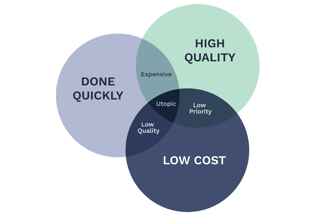
Choosing the right data accuracy level for certain aspects of your project is crucial to hitting the mark with your results, because let's face it - we can't focus on everything, so let's focus on what's most important. In this section, we'll dig into figuring out the ideal accuracy based on project needs and how to juggle data accuracy and project resources.
Understanding your Project Requirements
Your project's required data accuracy will mostly hinge on the industry and project scope. Keep these two factors in mind when deciding on the right level of data accuracy:
- Industry-specific needs: Different industries have their own accuracy needs, depending on their unique use cases. For example, in the aviation space you might need very precise building height data for safe navigation, while urban planning projects might focus more on accurately capturing building footprints.
- Project size and scope: Your project's scale and scope can also affect the level of data accuracy needed. Smaller, detail-oriented projects might call for higher accuracy levels, while large-scale or broader analysis projects could be more flexible with data precision.
Balancing Data Accuracy and Project Resources
To reach that sweet spot of data accuracy, you'll often need to weigh accuracy needs against project resources like cost and time. Keep these two aspects in mind when balancing data accuracy and resources:
- Cost and time trade-offs: Higher data accuracy levels often come with a price tag and take more time. These could include expenses for top-notch data sources, manual data verification, or data processing techniques. Make sure to weigh these costs against the perks of better data accuracy to determine the best accuracy level for your project.
- Prioritizing accuracy factors: Your project's unique needs might make certain aspects of data accuracy more important than others. For example, a project centered on building heights might put height accuracy above geometric or attribute accuracy. By pinpointing and focusing on the most crucial accuracy factors, you can use your resources more effectively and hit the accuracy target you're aiming for.
By getting a handle on project requirements and balancing data accuracy with resources, you can determine the right data accuracy level for your project. This will help make sure your dataset fits your project's specific needs and contributes to its overall success.
Conclusion & How to get Started with Building Data
And there you have it! We've explored the ins and outs of building data accuracy. Keep these tips in mind when you're working on your next project, and you'll be set to make smart decisions and tackle any data accuracy challenges that come your way.
And remember that our lines are always open, so if you have any questions, reach out to us or connect on LinkedIn.
And if you're ready to take the next step and get started with building footprints, ONEGEO is here to help. We make it easy, safe, and convenient to get the data you need. To get started, simply get your $50 coupon code. With this, you can download and try some of our data for free so you can experience the benefits of building footprints for yourself and take the first step towards better decisions with ONEGEO.